USA Illustrated Map
Carla DalyCarla Daly maps the world through a lens of playful discovery, using bright, graphic illustrations to turn geography into a narrative of place. This landscape piece organizes the vastness of the United States into a friendly, accessible tapestry of regional identity.
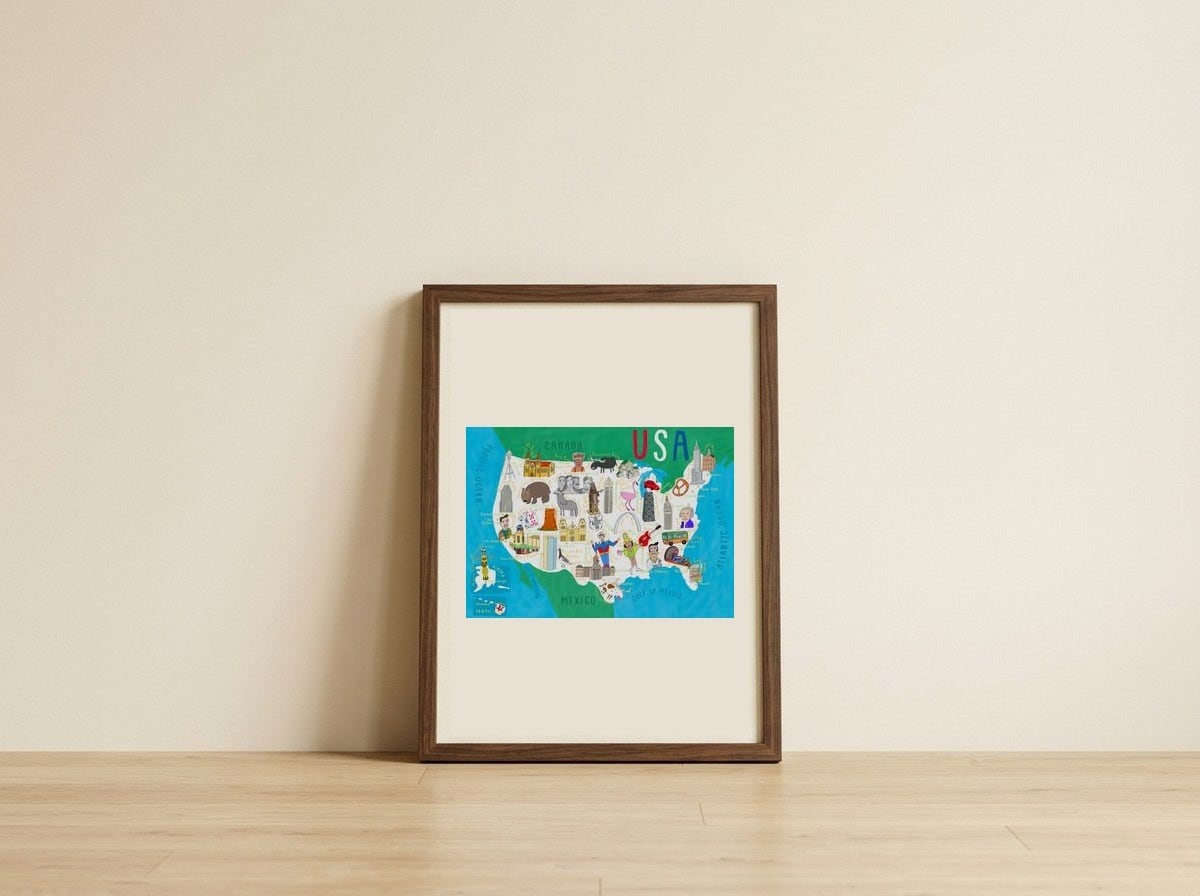
Styling images show a frame. Print sold unframed.
USA Illustrated Map
Carla Daly maps the world through a lens of playful discovery, using bright, graphic illustrations to turn geography into a narrative of place. This landscape piece organizes the vastness of the United States into a friendly, accessible tapestry of regional identity.
35 × 28 cm · about ⅙ the width of a 3-seat sofa
A meaningful share of this purchase goes directly to Carla Daly.
Every Arthaus piece supports a living artist.
USA Illustrated Map
Carla Daly
Art Analysis
A vibrant journey across the illustrated American landscape
In this illustrated map, Carla Daly replaces the rigid lines of traditional cartography with a vibrant, character-driven exploration of the American landscape. The composition utilizes a wide horizontal orientation to capture the breadth of the country, populating the land with icons that spark curiosity and invite the eye to wander from coast to coast.
The artwork functions as both a decorative piece and a visual story, where color and shape define the unique spirit of different regions. By simplifying complex geography into bold, cheerful forms, Daly creates a sense of wonder and belonging, making the vast scale of the nation feel intimate and approachable for viewers of all ages.
The artwork uses the structure of a map to tell a story of regional identity through playful icons.
The artist employs clean lines and flat shapes to translate natural subjects into a bold, illustrative language.
The landscape orientation emphasizes the breadth of this dreamscape, allowing the viewer to get lost in its wide, rhythmic patterns.
Free Shipping
On all framed orders
100-Day Guarantee
Love it or return it
Gallery Quality
Museum-grade materials
Artist-Direct
Fair pay, every piece
More to Discover
More from Carla Daly
ArtistMore of Carla Daly’s work, hand-picked from the collection.